

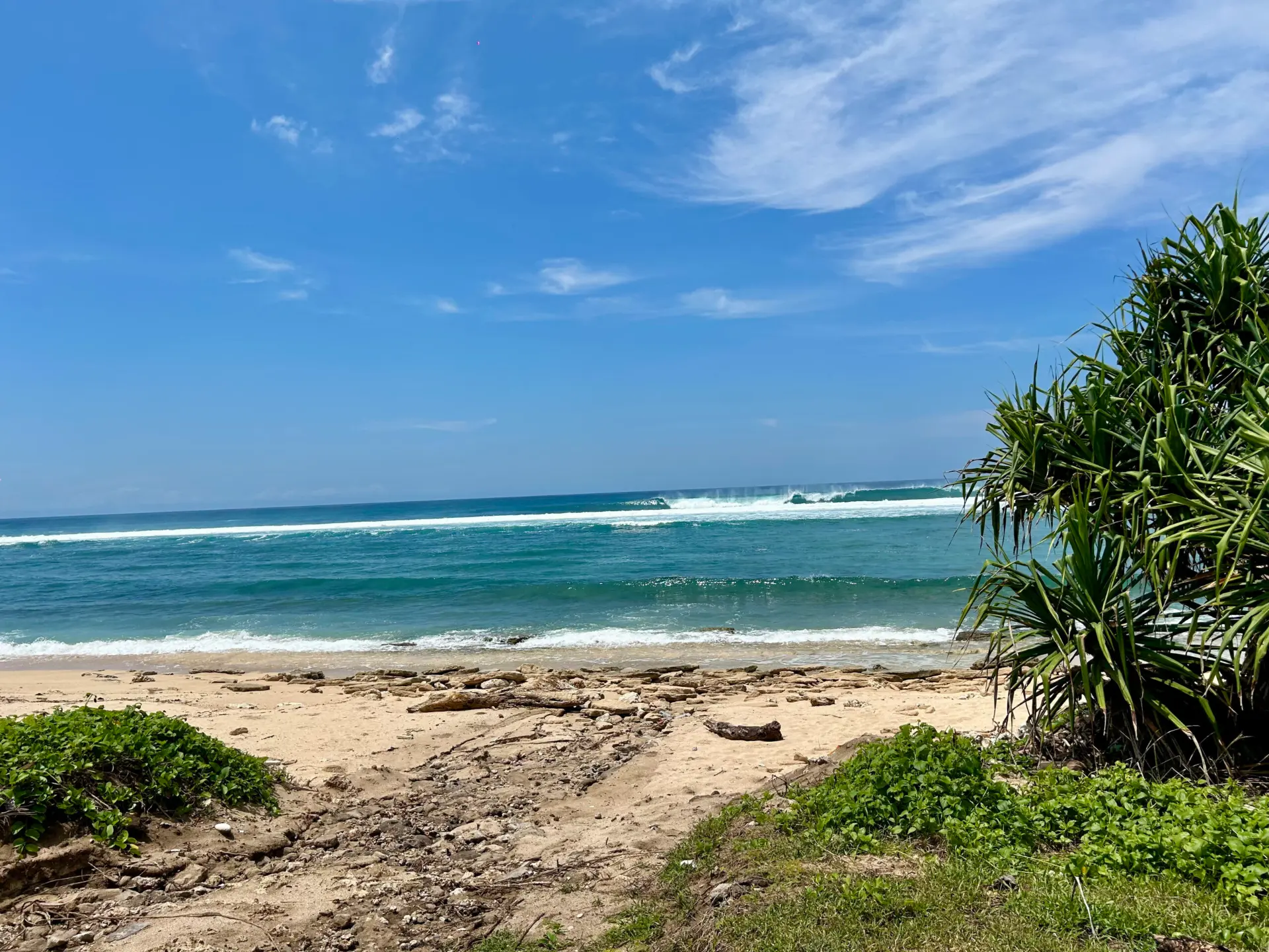
Beachfront and oceanfront land in Sumba comes in many forms: sandy bays, cliff tops and slopes looking out to sea. This guide explains the rules that decide where a house can sit on a coastal plot, drawn from Indonesia’s official legal texts. It also sets out the checks that get you reliable answers before you commit.
The short version
- Indonesian law defines the coastal setback as land along the shore at least 100 metres inland from the highest tide point, proportional to the shape and condition of the coast.
- 100 metres is the national minimum, not a fixed line: each regency must calculate its own line in its spatial plan (Perda RTRW).
- The regency plan and national spatial-planning rules (ATR/BPN) decide what may be built inside the setback.
- The setback rules also cover public access to the shore. Every plot also needs zoning (KKPR) and forest-area checks, made with a notary (PPAT), an independent surveyor, the land office (BPN) and the regency planning office before you commit.
Beachfront land in Sumba: why the rules matter most at the coast
On a coastal plot, national coastal law, the regency’s spatial plan and the ground itself all meet. The closer your planned house is to the high-tide line, the more those rules shape its position, size and layout. Knowing them early lets you shortlist realistically and brief an architect well.
The coastal setback (sempadan pantai) in plain English
Indonesia’s coastal-zones law (UU 27/2007) defines the coastal setback as land along the shore, at least 100 metres inland from the highest tide point, with a width proportional to the shape and physical condition of the coast. Later amendments, including UU 1/2014 and the Job Creation law (UU 6/2023), kept that definition.
The detailed rules sit in Presidential Regulation (Perpres) 51/2016 on Coastal Setback Boundaries, in force since 19 June 2016. It defines the beach as the area between the lowest low-water and highest high-water marks, so the setback runs inland from the top of the beach.
| The 100-metre figure | What it means in practice |
|---|---|
| The minimum in the national definition | Measured inland from the highest tide point, not from the water’s edge at low tide |
| Not a fixed distance for every coast | The width follows the shape and condition of the coast, and each regency sets its own line |
Who draws the line on Sumba: regency spatial plans (RTRW)
Under the coastal-zones law, regional government sets the setback line to suit local topography, ocean conditions and economic and cultural needs. Perpres 51/2016 makes this specific: provinces give only a general direction, and every coastal regency must set its actual line in its regency spatial plan regulation (Perda RTRW Kabupaten).
Sumba has four regencies: West Sumba, Southwest Sumba, Central Sumba and East Sumba. The line for a plot comes from its own regency’s plan; the Kodi districts, for example, are in Southwest Sumba.
The Perpres gave regional governments five years from June 2016 to set their lines, and plans are revised over time, so ask the regency planning office or your notary which plan is in force for your plot.
Sandy beach or cliff top: how the coast shapes the line
The line is set by calculation. The law and the Perpres list six criteria it must provide for:
- protection from earthquakes and tsunamis
- protection of the coast from erosion
- protection of man-made assets on the coast from storms, floods and other natural disasters
- protection of coastal ecosystems such as mangroves, coral reefs and sand dunes
- regulation of public access
- regulation of water channels and waste
For the first three, the result depends on disaster risk, graded high, medium or low from a hazard index and a vulnerability index. Vulnerability looks at features such as slope and elevation, coastal material, coastal forest and dunes, beach shape, cultural heritage, religious or ritual activity, population and building type.
Ecosystem protection is measured to where coastal ecosystems end inland; public access and water and waste depend on the type and intensity of coastal activity.
So a low sandy shore backed by dunes and a rocky cliff top can end up with different lines. One narrow exception applies: in disaster-prone coastal areas, the line may be set narrower than the calculated result, but only where a disaster building code is applied.
Building inside the setback: what the regency plan decides
Perpres 51/2016 sets out what the setback is for: protecting coastal ecosystems and resources, protecting coastal communities from natural disasters, keeping space for public access to the beach, and keeping space for water channels and waste.
Rather than listing permitted or banned buildings, it hands the rules on using the setback to the spatial-planning minister (ATR/BPN), working with other ministries. Government Regulation (PP) 21/2021 then requires every regency plan to set zoning rules and the designated use of coastal setbacks.
Questions worth taking to the regency planning office:
- Does any part of the plot fall inside the setback line?
- What designated use applies inside the line, and outside it?
- Are any structures allowed inside the setback, and on what conditions?
- What building coverage (KDB) and floor area (KLB) limits apply to the rest of the plot?
Have your notary review the answers before you commit, so your architect can design around the line from the first sketch.
Public access to the beach
Public access is written into the setback rules: it is one of the criteria for the line and one of the setback’s stated purposes. In practice, expect the setback to leave room for public access to the shore, and create privacy through how you position and design the house.
Zoning beyond the shoreline: KKPR, forest areas and plan maps
Spatial-use conformity (KKPR)
PP 21/2021 defines KKPR (Kesesuaian Kegiatan Pemanfaatan Ruang) as the match between a planned use of space and the spatial plan. It is a Confirmation where a detailed spatial plan (RDTR) exists, or an Approval checked against other spatial plans where none exists. It comes in three kinds, for business, non-business and national strategic activities, and is valid for three years from issue.
Where a detailed spatial plan exists, a non-business Confirmation is requested electronically with site coordinates, land area, tenure, activity type, and planned floors and floor area. It states the building coverage ratio (KDB), floor area ratio (KLB) and layout rules: in short, how much you can build.
For business uses, PP 28/2025 on risk-based business licensing (issued 5 June 2025) replaced PP 5/2021 and sets its own KKPR steps through the OSS online system, so the procedure may differ from the 2021 text. Whatever the use, confirm current steps with your notary or a permit agent.
Forest-area status
SIGAP, the Ministry of Forestry’s geospatial system, offers forestry maps including forest-area designation. If a plot appears to overlap a forest area, your surveyor and notary will want that resolved before you commit.
Spatial-plan maps
ATR/BPN’s GISTARU portal has an RTR Online application built to show spatial plan maps, including regency plans. It can be a starting point; the regency planning office remains the reliable source for the plan in force on your plot.
How it is checked before you commit
| Check | Carried out by | What it tells you |
|---|---|---|
| Title and the seller’s rights | Notary (PPAT) with the land office (BPN) | Which land right the plot carries, and which legal route (lease, Hak Pakai or a PT PMA with HGB) fits your situation |
| Boundaries and highest tide point | Independent surveyor | Where the plot sits relative to the tide line and the setback line |
| Setback line and designated use | Regency planning office | The line in force and what the plan allows near the shore |
| Spatial-use conformity (KKPR) | Electronic application, supported by your notary or a permit agent | Whether your planned use conforms, and its building limits |
| Forest-area status | SIGAP maps, reviewed with your surveyor and notary | Whether the plot overlaps a designated forest area |
Customary claims need their own check: see adat land due diligence in Sumba and Indonesian land titles explained.
Terms vary by property, but in most cases 10% is paid on signing an Intent to Purchase agreement and the balance on signing the notarial documents. Before you sign, ask your notary which checks will be complete and how the deposit is handled if one of them turns up a problem.
Next steps for beachfront and ocean-view plots
We work with reliable local notaries, independent surveyors, architects and permit agents, and can refer you to them.
- Browse land for sale in Sumba, including land for sale in Rua and land listings in Pero and Kodi.
- Note what you picture building: footprint, floors, home or business.
- Commission a survey of the boundaries and highest tide point.
- Take setback questions to the planning office and KKPR questions to a permit agent.
- Have your notary check title and customary claims, then decide.
For prices by area, see the Sumba land price report 2026, or contact Sumba Estate; we usually respond to qualified inquiries within 24 hours.
Frequently asked questions
How close to the beach can you build in Indonesia?
National law sets the coastal setback at a minimum of 100 metres inland from the highest tide point. Each regency must set the actual line in its spatial plan, and that plan, with national rules, decides what may be built inside it. The answer for your plot therefore depends on its regency’s line and plan.
Is the coastal setback in Sumba always 100 metres?
No single width applies everywhere. The 100-metre figure is the minimum in the national definition; each regency must calculate its own line from local conditions, so it can vary along the coast. In disaster-prone areas the line can be set narrower than the calculated result, but only where a disaster building code is applied.
Can I build on beachfront land in Sumba?
That depends on where the regency’s setback line falls on the plot, what the plan designates around it, and whether your planned use conforms (KKPR). A survey, the regency planning office and your notary are how you find out before you commit; if a line is not yet fixed, your notary can advise how to proceed.
Who checks whether a plot is inside the coastal setback?
Each plot needs its own checks before the purchase completes: an independent surveyor maps the boundaries and highest tide point, the regency planning office advises on the line in force, and a licensed notary (PPAT) works with the land office (BPN) on title. Sumba Estate can refer you to reliable local partners for each.
Land for sale by area: Rua · Wanokaka · Pero & Kodi · East Sumba
More on Sumba
- Best areas to buy land in Sumba — a region-by-region guide
- How to buy land in Sumba as a foreigner — the legal routes to ownership
Sources
- UU 27/2007 on Coastal Zones and Small Islands (JDIH BPK) — setback definition, regional line and criteria
- UU 1/2014 amending UU 27/2007 (JDIH Kemenkeu) — unchanged setback definition
- UU 6/2023 on Job Creation (JDIH KKP) — later amendment of UU 27/2007; setback definition kept
- Perpres 51/2016 on Coastal Setback Boundaries (JDIH KKP) — regency line, calculation, purposes, use rules
- PP 21/2021 on Spatial Planning (JDIH BPK) — regency plan content, KKPR
- PP 28/2025 on Risk-Based Business Licensing (JDIH BKPM) — date, status and business KKPR steps
- SIGAP, Ministry of Forestry — forest-area maps
- Kompas.com, 18 December 2019 — GISTARU RTR Online
- East Sumba Regency (Wikipedia) — Sumba’s four regencies
- Southwest Sumba Regency (Wikipedia) — Kodi districts
Looking at land in Sumba? Browse our current plots, or get in touch and we can introduce you to local notaries and surveyors who can run these checks.
This article is general information based on the official texts cited above, not legal advice. Indonesian law and regency spatial plans change, and setback lines are set locally. Confirm the rules for your plot with a qualified Indonesian notary (PPAT) or lawyer and the regency planning office.